

This article was originally published in Spanish. Available here including the complete reference and bibliography list. Reprinted and translated with permission from ValenciaBonita.es
We have updated some of the infomation – June 2023.
History: 138 BC (over 2100 years ago)
Origins: Roman Colony “Valentia Edetanorum”
Kingdoms: Visigoths, Muslims, Christians
Area: 134.6 km²
Population: 838,000 (2023) 790,201 (2016)

The origins and brief histories of Valencia districts Valencia is a city full of legends, many of which are unknown to those who live there. The same with the origin of its streets, districts or neighborhoods. Not knowing often leads to confusion so in order to meetup with friends, one talks about a place or location on a photo.
Although not always this way, the City of Valencia is currently divided into 19 districts, which are comprised of a total of 87 neighborhoods and districts. The history of each of these districts has been shaped over time and provides the current breakdown. Many of our followers have asked about the origin of the different districts of Cap I Casal so today, we will try to provide the information so that at all times, you will know about each district. (Click on the name of each neighborhood and you will be directed to a new page.)
Here are the 19 Districts
Click on each one to expand the information.

Ciutat Vella

Eixample

Extramurs

El Pla de Real

Jesús

Poblats Marítims

Oliverata

Patraix

Campanar

Quatre Carreres

La Saïdia

Camins Al Grau

Algirós

Benicalap

Rascanya

Benimaclet

Pobles de Nord
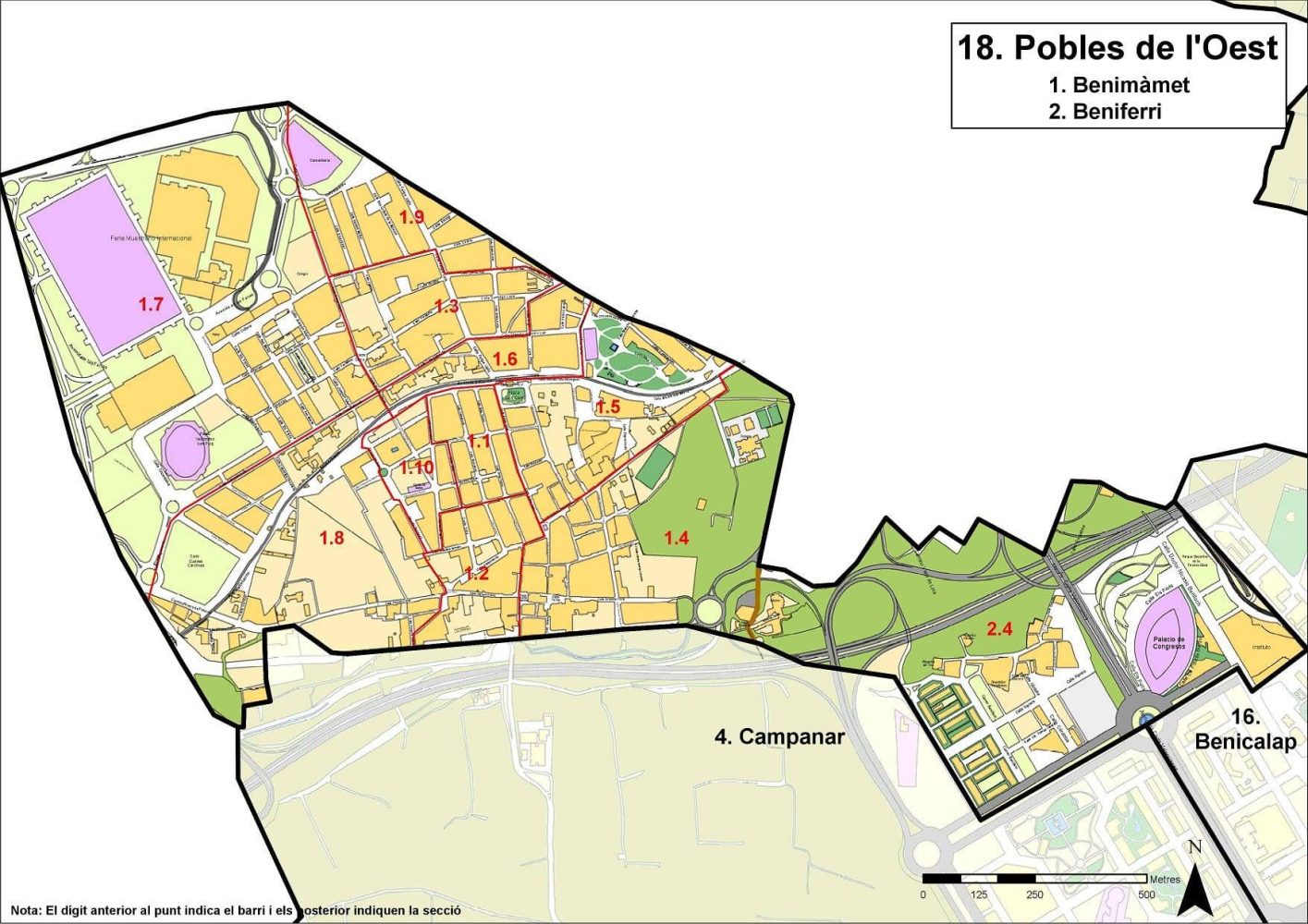
Pobles de l'Oest